
Istanbul
Istanbul
How to pay, which lines matter, how to reach both airports, and what the network means if you're choosing where to buy.
Istanbul's traffic has a reputation, and it's earned. The good news is that Istanbul public transport means you rarely need to sit in it. The city runs an extensive rail network, plus ferries, a bus rapid-transit line and a large bus network, all on a single card. This guide covers how to pay, which lines matter, how to reach both airports, and what the network means if you're choosing where to buy in Istanbul.
Everything runs on the Istanbulkart: metro, Marmaray, metrobus, trams, funiculars, buses and the municipal ferries. You buy the card from the yellow machines (Biletmatik) at stations, piers and both airports, then top it up with cash or a bank card at the same machines. The Istanbulkart site lists the current fares.
Two things make the card cheaper than it looks. Transfers are discounted: change vehicles within the transfer window and each following ride costs less than a new full fare. And one card can pay for several people, so a family can tap through one after another on the same card, although the transfer discount may not apply to everyone on a shared card.
If you'd rather not carry a card, the Istanbulkart app works with a QR code at the turnstiles, and you can register a card in the app to check your balance and top up. Residents can switch to a personalised card and a monthly pass, which pays off if you commute every day. Marmaray and the metrobus charge by distance, so a long ride on either costs more than the standard fare. On those two, tap again on the way out or you'll pay the maximum.
The metro is the fastest way across the city in rush hour. Most lines run from about 6 a.m. to midnight. These are the lines you're most likely to use:
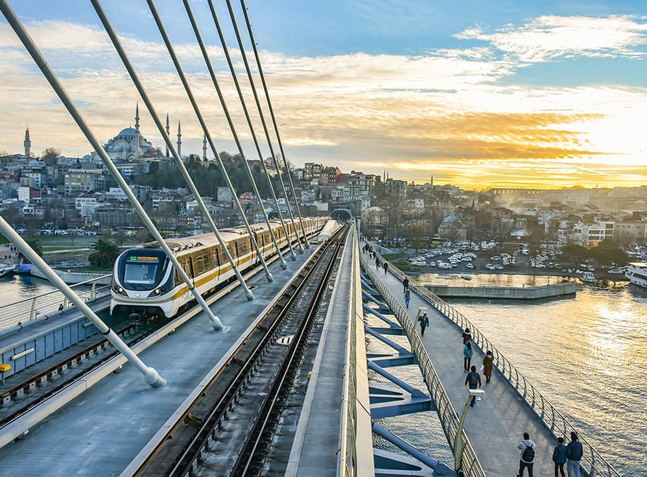
Sections of a line sometimes close for repairs, and the M11 is run by the Transport Ministry rather than Metro İstanbul, so its timetable and fares are published separately. Check Metro İstanbul's app before relying on a line you haven't used.
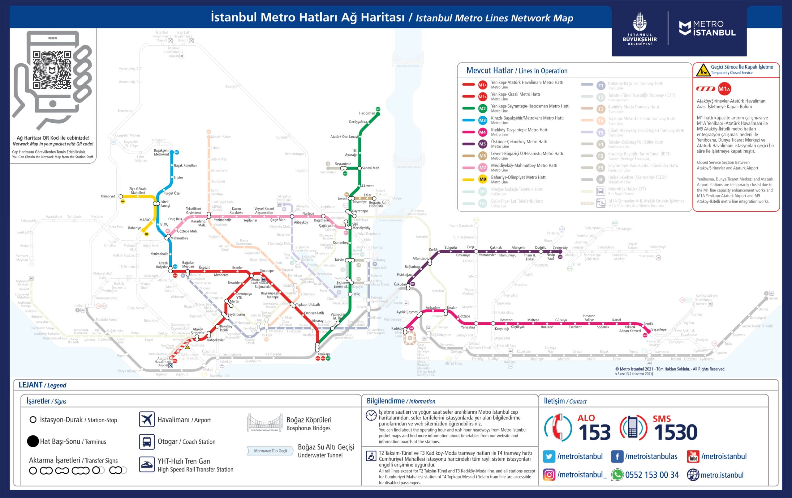
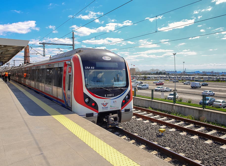
Marmaray is the commuter railway that crosses the Bosphorus in a tunnel under the seabed. It runs about 76 km along the Sea of Marmara coast, from Halkalı in the west to Gebze in the east, and has run end to end since 2019. For many districts it's the quickest way between the two continents, and it connects with the metro at Yenikapı, Üsküdar, Ayrılık Çeşmesi and Bostancı. Fares depend on distance.
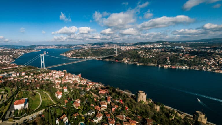
The metrobus is a bus rapid-transit line with its own lanes down the middle of the E-5 highway, from Beylikdüzü in the west to Söğütlüçeşme in Kadıköy, crossing the 15 July Martyrs Bridge on the way. It's quick, it runs through the night, and at rush hour it's packed. Use it when it's the direct option; take the metro or Marmaray when they cover the same trip.
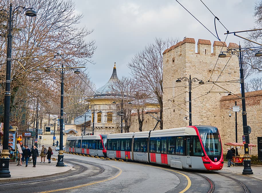
The T1 tram, from Kabataş to Bağcılar, is the one most visitors use: it runs through Karaköy, Eminönü and Sultanahmet. The T4 and T5 serve residential districts further out, and on the Asian side the T3 loops between Kadıköy and Moda. The red heritage tram along İstiklal Avenue, between Taksim and Tünel, is more a ride than a commute.
Two funiculars save you a steep climb. The F1 links Kabataş, at the waterfront, with Taksim Square in about two minutes. The historic Tünel, opened in 1875, runs from Karaköy up to the bottom of İstiklal.
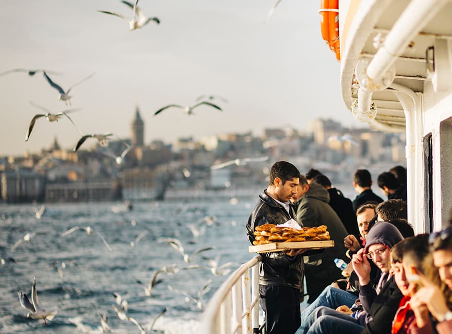
Ferries are the most pleasant way to cross between Europe and Asia, and often the quickest. The municipal Şehir Hatları fleet runs the main commuter routes, such as Eminönü, Karaköy, Kabataş and Beşiktaş to Kadıköy and Üsküdar, plus the Bosphorus line and the Princes' Islands. Private operators such as Turyol and Dentur run shorter crossings, and İDO runs sea buses and car ferries on longer routes, including across the Sea of Marmara to Yalova and Bursa. You pay with the Istanbulkart on the main lines; trips to the islands cost more than a standard ride. Strong wind can cancel sailings, and Marmaray is the usual backup.
Istanbul Airport (IST) is on the M11. From Gayrettepe, where it meets the M2 and the metrobus, the ministry gives the trip as about 30 minutes. Since June 2026 the line also runs from the airport south to Halkalı, where it meets Marmaray. Havaist airport buses are the alternative for districts the rail doesn't reach.
Sabiha Gökçen (SAW), on the Asian side, is the last stop on the M4 from Kadıköy. Havabus coaches also run from Kadıköy and Taksim.
Buses, run mainly by İETT, cover the gaps between rail lines and take the same card. The yellow dolmuş minibuses run set routes, stop where you ask and take cash. Taxis use meters; the BiTaksi and İTaksi apps tell you the plate and track the trip, which helps if you don't speak Turkish.
For a buyer, the transport map matters as much as the floor plan. A home within a short walk of a metro or Marmaray station is usually easier to rent out and easier to sell than a similar flat that depends on a bus or a car. When we shortlist property for sale in Istanbul or apartments for sale in Istanbul, we check the walking time to the nearest station, not the distance in a brochure.
Planned lines deserve a second look. Developers like to put the next metro station in their sales pitch, and some of those lines do open, as the M5 extension to Sultanbeyli did in May 2026. Others take years longer than announced. Price a property on the transport it has today and treat future lines as a bonus. Our guide to the best areas to buy property in Istanbul looks at each district with this in mind.
Fares are set by the city and the Istanbulkart site lists the current standard fare. Transfers within the transfer window cost less. Marmaray and the metrobus charge by distance, and ferries to the Princes' Islands cost more. Fares are usually revised during the year, so check the current fare before you travel.
You can use a bank card to buy and top up an Istanbulkart at the machines, and the Istanbulkart app lets you travel with a QR code. The physical card is still the simplest option and works on every line.
Take the M11 metro to Gayrettepe, about 30 minutes, then change to the M2 for Taksim or the metrobus. Since June 2026 the M11 also runs to Halkalı for Marmaray. Havaist buses serve other districts.
By the standards of any large city, yes. Stations are staffed and watched by cameras. As anywhere, keep an eye on your phone and wallet on crowded trams and the metrobus.
Published 18 November 2021. Figures, rules and timelines change — confirm the current position with an adviser before you act on anything here.
Next step
Tell us what you are looking for and an adviser will come back with the next step — in your language, with no obligation.
Book a consultation